 Author: Stephen Constantine
History of Maps: From Clay Tablets to Mapping Apps
May 05, 2023 . 3 min read . Author: Stephen Constantine
The new era of digital maps started several years ago. It is almost impossible to find somebody who has never used GPS or other digital map formats. Are you curious how this started? If yes, here’s a brief history of mapping.
When were maps invented – the history of first maps
Maps have been used by humans for millennia. It is estimated that humans used maps even 5,000 years ago. However, the first map that survived is from around 6th century BC. And if you’re surprised with this fact, remember – the first maps were much different from what we have today.
The first map that survived is on a clay tablet, and derives from ancient Babylon. It shows the world, as seen by Babylonians at that time, with Babylon in its center. The map itself is pretty simple in design, but shows several terrain features, such as the Euphrates River, the ocean and the mountains around Babylon.
The first maps in history were mainly invented to aid traders or warchiefs. They were simple and focused on a particular aim, like showing the particular trade route. Unlike today when all maps are oriented with north at the top, there were no orientation rules at that time. Plus, since these maps were hard to craft, they were also works of art.
The evolution of maps
The fastest development of maps occurred in ancient Rome and Greece. Considering the size of the Roman Empire, there is no surprise that they wanted to develop mapping to have a more accurate outlook on their country. However, the scholar who did the most for mapping history had his own reasons.
Claudius Ptolemaeus lived in Roman Egypt. He is the founding father of geography, although he started his research purely to prepare more accurate horoscopes. Ptolemaeus is known for introducing longitude and latitude lines – a completely new, at the time, mathematical approach towards mapping. Many future cartographers based their work on the world map prepared by Ptolemaeus.
The medieval ages brought a pause to the development of mapping. Maps were mostly created by monks, were decorated with religious ornaments, and often served as a symbol of wealth, since they were extremely expensive. Moreover, unlike the ancient Rome where people knew that earth is round, the medieval belief that the earth is flat has also had its impact.
Renaissance for mapping was a true…renaissance. People rediscovered the works of Ptolemaeus and Christopher Columbus found America. This was a huge impulse for the development of mapping. However, nothing has impacted the history of maps as much as the invention of the printing press. This made maps more affordable, thus more common. Thanks to the publishing houses, many more people could buy and use maps.
Since the revival, the maps were slowly growing better and better, until a new invention revolutionized mapmaking – the satellites. With the use of satellite images it became possible to create maps more accurate than ever before – both in terms of distance and in terms of recognising and marking other aspects, such as ocean depth or terrain height.
History of map making: What do modern maps look like?
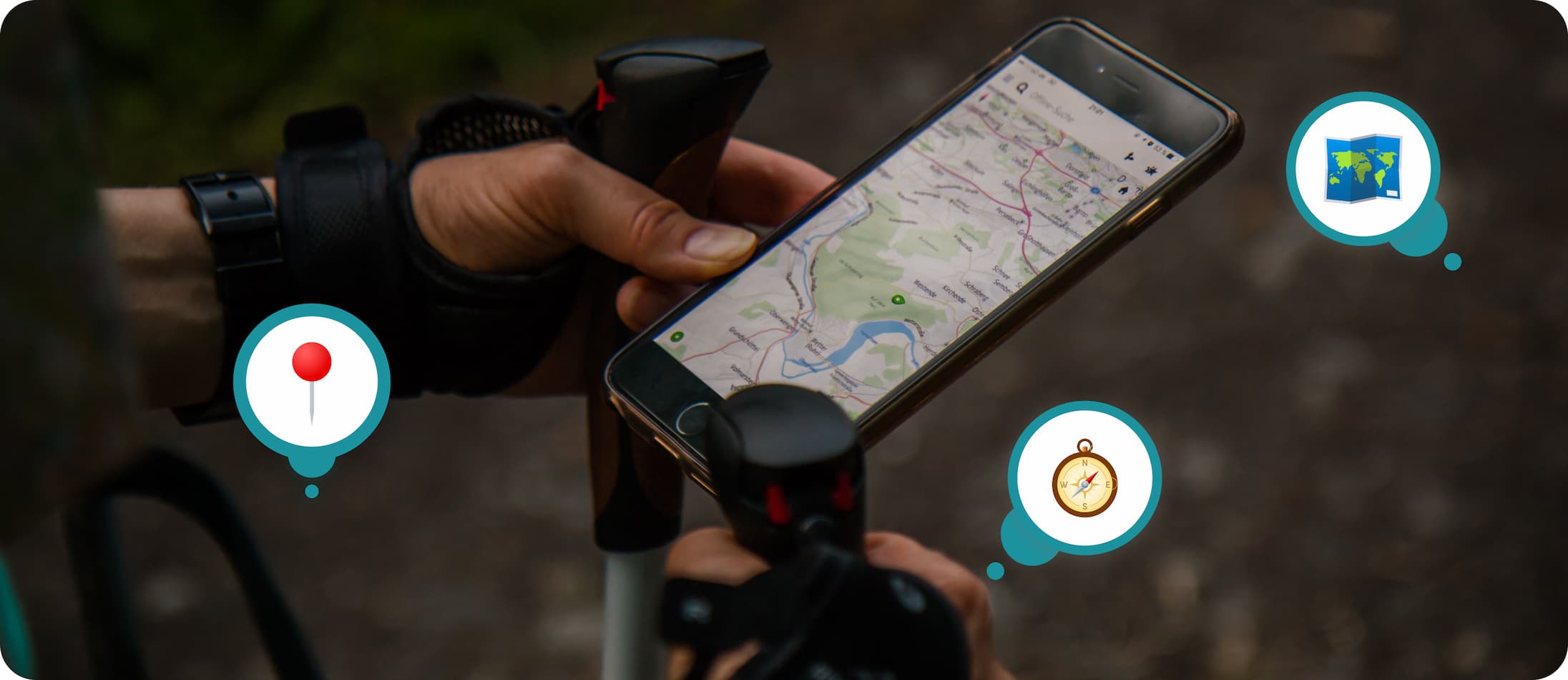
Since the invention of computers, modern maps have become more and more digital. When smartphones appeared it was sure that sooner or later they would have maps in them. And so it was.
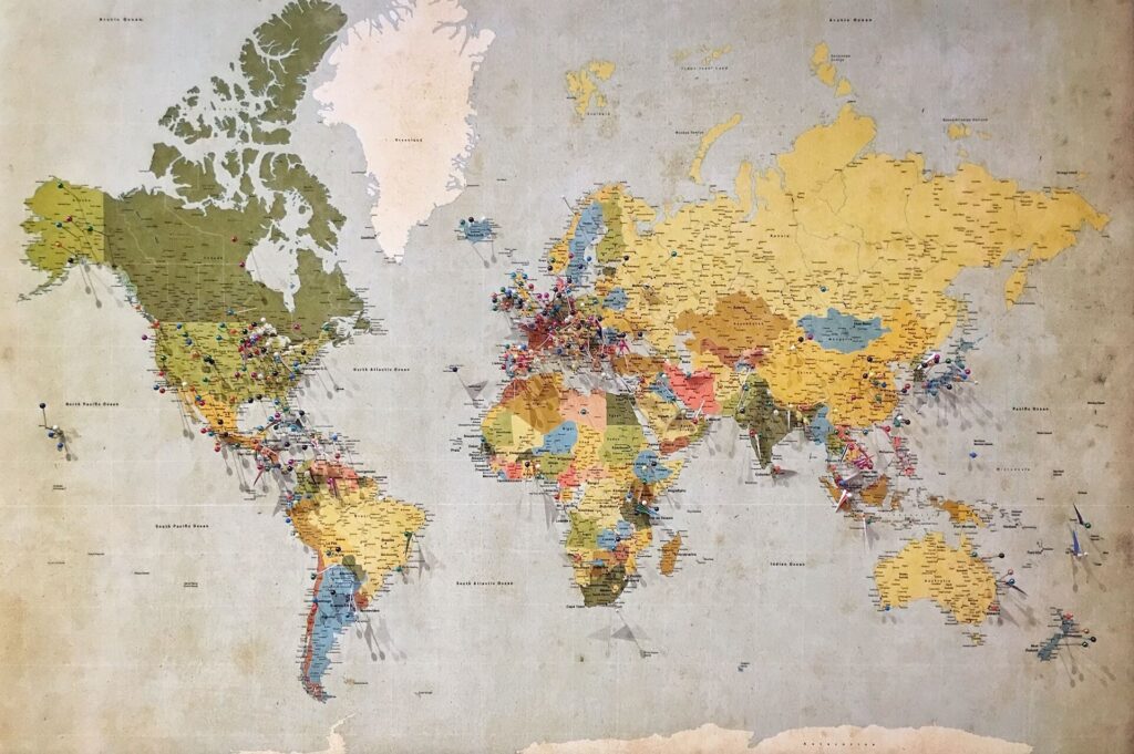
Nowadays, we mostly use maps in our cell phones. The rapid growth of mobile maps and navigation systems, such as Google Maps, has made our life much easier. But it’s not the end of the development of maps. With applications such as YouMap you can create your own maps and share them with your community! Being able to mark your favorite spots, plan the best jogging routes in your neighborhood, or just share some reviews shows us that it’s not the end of the history of mapping – it’s just another step.
Summary
The beginning of the history of maps is marked by clay tablets with simple maps on them. Cartography then developed, although some of the knowledge got forgotten in the medieval ages. Nevertheless, due to the renaissance and the further inventions, such as satellites, we got to a point when everybody can have an accurate map with them – all you need is a smartphone.
If this article sparked your interest in modern types of maps, don’t hesitate to read about social maps.


